
Published 28 Sept 2026
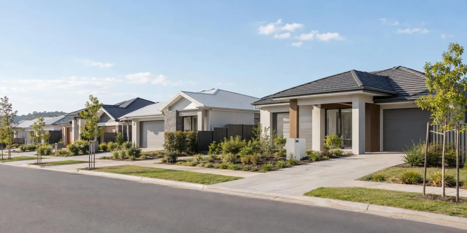 Estate design guidelinesEstates layer their own approval on top of the state and council rules, and some bundle bushfire management plans and per-stage BAL documents with the design guidelines. The design-guidelines article explains what the estate layer covers and who approves it.
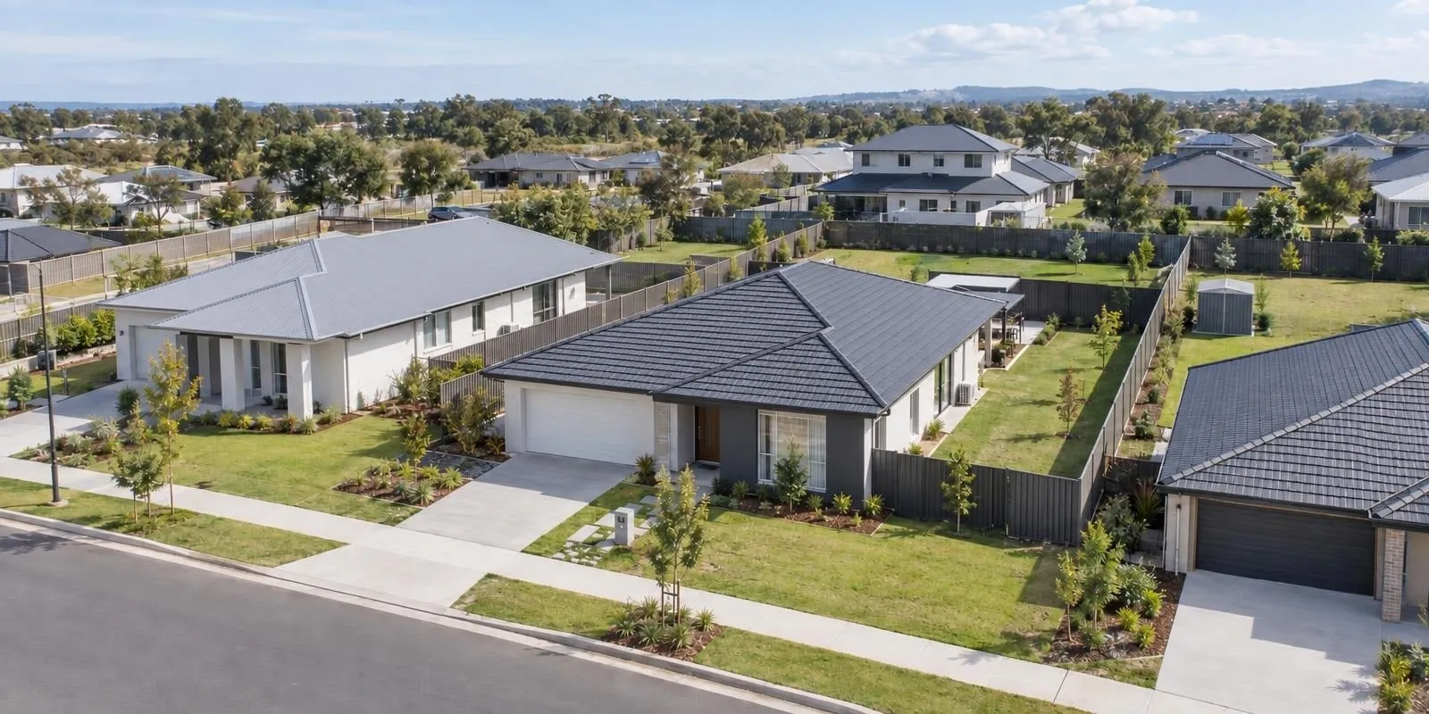 The building envelopeA BAL band is measured from the house to the vegetation, so where the house can sit on the block changes the level. The building-envelope article covers the setbacks and site controls that fix that position.
Section 01 · The six levels
What is a bushfire attack level (BAL) rating?
A bushfire attack level (BAL) rating is one of six construction levels in Australia's standard for building in bushfire-prone areas, AS 3959:2018. It reflects the level of bushfire exposure a building could face and helps determine which parts of the house must resist embers, radiant heat or flame1.
The levels are BAL-LOW, BAL-12.5, BAL-19, BAL-29, BAL-40 and BAL-FZ. The number in each rating shows the upper level of radiant heat, measured in kilowatts per square metre (kW/m²), for that BAL band.2 BAL-FZ, the flame zone, has no upper limit and covers exposure above 40 kW/m² with a significantly higher likelihood of flame contact from the fire front1.
BAL-12.5 is the lowest construction level covered by AS 3959:20183. At this level, burning debris is the main threat and radiant heat stays at or below 12.5 kW/m².1 The construction requirements cover ember protection and the build-up of debris. BAL-LOW applies where the building is far enough from the vegetation that no specific bushfire construction requirements apply under the standard, although burning debris can still reach it.
Under the National Construction Code 2022, a house, or a deck or outbuilding, in a designated bushfire prone area must be designed and constructed to reduce the risk of ignition from embers, radiant heat or flame, based on the level of bushfire exposure4.
| Bushfire attack levels, radiant heat bands and the exposure each describes, Australia, AS 3959:2018 | |||
|---|---|---|---|
| Level | Radiant heat (kW/m²) | Exposure described | What the construction level addresses |
| BAL-LOW | No heat band | Minimal attack from radiant heat and flame because of the distance from the vegetation; some attack by burning debris possible | No specific construction requirements |
| BAL-12.5 | Up to 12.5 | Attack by burning debris is significant; radiant heat is unlikely to threaten building elements such as unscreened glass | Ember protection and the accumulation of debris |
| BAL-19 | More than 12.5 to 19 | Attack by burning debris is significant; radiant heat threatens some building elements, such as screened glass | Embers and radiant heat |
| BAL-29 | More than 19 to 29 | Attack by burning debris is significant; radiant heat threatens building integrity; some flame contact is possible | Embers and higher levels of radiant heat |
| BAL-40 | More than 29 to 40 | Radiant heat and potential flame contact could threaten building integrity | Radiant heat and potential flame contact |
| BAL-FZ | More than 40 | Significant radiant heat and a significantly higher likelihood of flame contact from the fire front; significant risk to residents | Flame contact, under Section 9 of AS 3959 |
Source · NSW RFS, Planning for Bush Fire Protection 2019, Table A1.7, p 85.
Section 02 · The assessment
How is a BAL rating assessed for a block?
A BAL rating is assessed for a block using four main factors: the type of vegetation near the site, the distance from the building to that vegetation, the slope under the vegetation and the area's forest fire danger index3.
In New South Wales, these factors are matched against official tables to determine the level for each side of the building. The highest level found then applies to the whole building3. Under this method, a building more than 100 m from the vegetation has no construction requirements.
The NSW Rural Fire Service gives an example of alterations to a building 24 m from forest vegetation on flat land in Tamworth. With a forest fire danger index of 80, it is assessed as BAL-293.
The required separation distance generally increases where the vegetation sits downslope from the building. For forest on flat land where the forest fire danger index is 100, the BAL-12.5 band begins at 45 m. On land sloping down by more than 10 to 15 degrees beneath the vegetation, it begins at 77 m. Over the same change in slope, the flame-zone distance increases from less than 18 m to less than 36 m.1
Where grassland is the only hazard within 140 m of the building, the NSW Rural Fire Service allows construction to BAL-12.5 where there is at least 20 m of managed grass between the building and unmanaged grassland.3 Where 50 m or more of grass managed to a height of 100 mm is provided, no further bushfire protection measures are required.
| Distance from the building to forest vegetation for each bushfire attack level by slope, NSW, forest fire danger index 100 | |||||
|---|---|---|---|---|---|
| Slope under the vegetation | BAL-FZ | BAL-40 | BAL-29 | BAL-19 | BAL-12.5 |
| Flat or upslope | Less than 18 m | 18 m to less than 24 m | 24 m to less than 33 m | 33 m to less than 45 m | 45 m to less than 100 m |
| Downslope, more than 0 to 5 degrees | Less than 22 m | 22 m to less than 29 m | 29 m to less than 40 m | 40 m to less than 54 m | 54 m to less than 100 m |
| Downslope, more than 5 to 10 degrees | Less than 28 m | 28 m to less than 36 m | 36 m to less than 49 m | 49 m to less than 65 m | 65 m to less than 100 m |
| Downslope, more than 10 to 15 degrees | Less than 36 m | 36 m to less than 45 m | 45 m to less than 60 m | 60 m to less than 77 m | 77 m to less than 100 m |
Source · NSW RFS, Planning for Bush Fire Protection 2019, Table A1.12.5, pp 90 to 91.
Section 03 · The construction
Which building elements change at each BAL level?
Each BAL level changes how much protection different parts of a building need against embers, radiant heat and flame. The requirements become more demanding as the BAL level increases, from ember protection at BAL-12.5 to higher radiant heat at BAL-19 and BAL-29 and to radiant heat with possible flame contact at BAL-40 and BAL-FZ1.
In Victoria, the Victorian Building Authority describes the minimum BAL-12.5 construction as sealing roofs and gaps around doors and windows, and screening windows, to reduce ember attack2.
CSIRO's bushfire best practice guide shows that window and door requirements also become stricter at higher BAL levels. It summarises standard glass and suitable timber or non-combustible frames at BAL-12.5, toughened glass at BAL-29, fire-rated glass at BAL-40 and non-combustible windows with shutters at BAL-FZ. The guide also recommends metal mesh screens with openings of less than 2 mm for openable windows, and screened protection for external doors5.
BAL-FZ, or the flame zone, has its own construction requirements under AS 3959. In New South Wales the code applies the standard except for that section, so a BAL-FZ house is built to the specific conditions of its development consent4. Where a setback of at least 10 m between the building and the hazard cannot be provided, AS 3959:2018 requires all building elements to be tested to a specified bushfire testing standard3.
The National Construction Code also requires vehicle access to the site for firefighting and access to a sufficient water supply4.
In New South Wales, where mains water is not provided or cannot be guaranteed, Planning for Bush Fire Protection 2019 sets a static supply per lot1. Three volumes apply by lot size: 5,000 L for a residential lot of less than 1,000 m², 10,000 L for a rural-residential lot of 1,000 to 10,000 m², and 20,000 L for a lot of more than 10,000 m².
No official data exists on what each BAL level adds to the cost of a new house. Planning Victoria states that a home in a bushfire prone area may cost more because of the additional materials and labour required to address bushfire safety, and that the difference varies with the builder, the size and design of the home and the BAL level6.
| Window and door requirements by bushfire attack level, Australia | |||
|---|---|---|---|
| Level | Window glass | Window frame | External doors |
| BAL-12.5 | Annealed glass, the standard glass | Non-combustible material or Class 1 durability timber | Non-combustible material or solid-core Class 1 durability timber |
| BAL-29 | Toughened glass | Non-combustible material | Non-combustible material |
| BAL-40 | Fire-rated glass | Non-combustible material | Not separately listed |
| BAL-FZ | Non-combustible material with a non-combustible shutter | Non-combustible material | 30-minute or 60-minute fire-rated material |
Source · CSIRO, Bushfire best practice guide, Windows and doors.
Section 04 · The three states
Which bushfire-prone land rules apply in NSW, Victoria and Queensland?
In New South Wales, bush fire prone land is mapped by each council and certified by the Commissioner of the NSW Rural Fire Service7. The maps identify bushfire-prone vegetation and the surrounding areas that may also be affected by bushfire controls.8 Development on this land must comply with Planning for Bush Fire Protection 20199.
Complying development can be undertaken on lower-risk bush fire prone land up to and including BAL-29, where the construction requirements and all other development standards are met1. It is not available for land assessed as BAL-40 or BAL-FZ.10 A BAL certificate from the council or a recognised consultant is required before a complying development certificate can be issued.
In Victoria, bushfire-prone areas are designated by the state government11. Inside a designated area, new buildings, alterations and additions must meet the code's bushfire prone area requirements and a minimum BAL-12.5 construction standard, even where the assessment returns BAL-LOW2. A site assessment is generally used to determine the BAL for the block12.
The Bushfire Management Overlay applies to areas with very high or extreme bushfire risk and can require a planning permit.6 It can also add requirements for defendable space, water supply, access and vegetation management.
In Queensland, a local government may designate all or part of its area as a bushfire prone area through its local planning rules. Bushfire requirements under the Building Code of Australia or Queensland Development Code then apply to building work in that area. Queensland has also adopted AS 3959:201813.
The state bushfire mapping identifies areas of very high, high or medium potential bushfire intensity, as well as a surrounding impact buffer that is generally 100 m14. The current State Planning Policy wording could not be accessed when this article was prepared, so these classifications are based on CSIRO's Queensland bushfire mapping methodology.
| Bushfire-prone land rules for a new house in New South Wales, Victoria and Queensland, 2026 | ||||
|---|---|---|---|---|
| State | The map and who makes it | Buffer or hazard classes | What the map triggers | Floor or ceiling on the level |
| New South Wales | Bush fire prone land map, prepared by each council and certified by the RFS Commissioner (EP&A Act s 10.3) | Category 1 vegetation buffered 100 m; categories 2 and 3 buffered 30 m | Compliance with Planning for Bush Fire Protection 2019 (s 4.14); complying development only with a BAL certificate | Ceiling: complying development up to and including BAL-29 |
| Victoria | Designated bushfire prone area by the Minister's determination (Building Act 1993 s 192A); Bushfire Management Overlay in planning schemes (cl 44.06 and 53.02) | Designated by ministerial determination, not by published hazard classes, with the overlay applying to very high and extreme hazards | Building permit to a BAL under AS 3959; planning permit with mandatory measures in the overlay | Floor: BAL-12.5 for every new home in a bushfire prone area |
| Queensland | State bushfire prone area mapping (CSIRO with the Queensland Fire Department) for the State Planning Policy; council designation under Building Regulation 2021 s 7 | Very high, high and medium potential bushfire intensity, plus a 100 m potential impact buffer | The Building Code or Queensland Development Code bushfire provisions apply to building work in a designated area; AS 3959:2018 adopted | No state floor or ceiling found in the instruments reviewed |
Source · NSW RFS; Codes SEPP cl 1.19A; DataVic; VBA; CFA; Building Regulation 2021 (Qld) s 7; CSIRO Queensland mapping methodology report, January 2014.
Section 05 · Paperwork and fees
What paperwork and official fees come with a BAL rating?
In New South Wales, a development application on bush fire prone land is accompanied by a bush fire assessment report showing how the proposal meets the state's bushfire planning requirements3. A complying development certificate needs a BAL certificate instead, from the council or a consultant recognised by the Rural Fire Service17.
Official fees apply to the assessment or certificate process, rather than to the BAL level itself. The NSW Rural Fire Service does not charge for development applications for new single dwellings, sheds or alterations and additions to existing dwellings17. Council BAL certificate fees vary. As one example, Nambucca Valley Council charges $520.00 in 2026–27.18 The fee does not apply where the certificate is linked to a complying development application lodged with the council for assessment.
In Victoria, a property vendor statement must state whether the land is in a designated bushfire prone area6.
A landowner can apply to the Building Appeals Board for a decision on whether the additional bushfire construction requirements apply to the lot. Planning Victoria listed the fee at $124.60 for a dwelling in its guide, last updated 1 July 2024, with processing taking up to 12 weeks6.
Estate documents can carry bushfire paperwork before any assessment is ordered. Among the 38 estates in BuildStreet's July 2026 review of published estate documents, three publish bushfire documents or bushfire clauses alongside their design guidelines19. This does not mean only three estates had bushfire requirements, because the review counted only documents that were publicly available.
Flagstone in Logan lists bushfire requirements by stage on its buying-and-building page, including a bushfire management plan for stages 8 to 14 and a BAL contour map19. Everleigh's owner portal lists a bushfire management plan among the documents it holds20. Foreshore Coomera's development code requires the siting and design of buildings, structures and landscaping to comply with an approved bushfire management plan that is not published with the guidelines21.
Section 06 · Finding the rating
How does a buyer find the bushfire mapping and BAL for a block?
The bushfire status of a block is found first through the relevant state or council map, then through the property's own assessment or certificate.
In New South Wales, the Rural Fire Service's online tool locates an address on the councils' bush fire prone land. The result is only valid on the day of the search, while the council's planning certificate confirms the bushfire status for the property7.
In Victoria, a VicPlan property report states whether a property is in a bushfire prone area or covered by the Bushfire Management Overlay2.
In Queensland, the state mapping is published as an open dataset. Local council planning maps can also show areas designated as bushfire prone22.
The map shows whether the land is bushfire prone, while the BAL comes from a site assessment against AS 3959.2 A block can sit inside a mapped area and still be assessed as BAL-LOW where the building is far enough from the vegetation.1 In Victoria, a new home in a designated bushfire prone area must still be built to at least BAL-12.5, even where the assessment returns BAL-LOW2.
See the council bushfire overlay for your block
For a block in Logan, Moreton Bay or the Gold Coast, BuildStreet's address check reads the council planning scheme's bushfire hazard overlay and shows an indicative flag with the layer's attribution and vintage. For Ipswich it links to the Queensland Fire Department viewer, and elsewhere it reports the bushfire check as not made. The flag shows the council's bushfire overlay only. It is not the state bushfire map and it does not provide a BAL rating, which comes from a site assessment of the block.
Section 07
Frequently asked questions
What does BAL-12.5 mean?
BAL-12.5 is the lowest construction level covered by AS 3959:2018, applied where radiant heat is not expected to exceed 12.5 kW/m² and the main threat is embers and burning debris. In Victoria, the Victorian Building Authority describes BAL-12.5 construction as sealing roofs and gaps around doors and windows, and screening windows to reduce the risk of ember attack.
Can a house be built in the flame zone (BAL-FZ)?
Yes, a house can be built in BAL-FZ, but it must meet the specific construction requirements for the flame zone. In New South Wales BAL-FZ cannot use the complying development pathway, so a development application is required. Where a setback of at least 10 m from the bushfire hazard cannot be provided, AS 3959:2018 requires all building elements to be tested to a specified bushfire testing standard.
Who can issue a BAL certificate for complying development in NSW?
A BAL certificate for complying development can be issued by the local council or a consultant recognised by the NSW Rural Fire Service as qualified to assess bushfire risk. The certificate must state that the development is not in BAL-40 or BAL-FZ before a complying development certificate can be issued.
How much does a BAL rating add to the cost of a build?
No official data exists on what each BAL level adds to the cost of a new house in Australia. Planning Victoria states that a home in a bushfire prone area may cost more because of the additional materials and labour required. The amount can vary with the builder, the size and design of the home and the BAL level.
Does a BAL-LOW result mean no bushfire construction requirements?
Under AS 3959:2018 as reproduced in Planning for Bush Fire Protection 2019, BAL-LOW means the level of bushfire exposure is low enough that no specific construction requirements apply under the standard. In a Victorian designated bushfire prone area, however, a new home must still be built to at least BAL-12.5 even if the assessment returns BAL-LOW.
How far from bushland does a house need to be to avoid BAL construction?
There is no single distance that applies to every block. Under the NSW method in the Rural Fire Service's single dwelling application kit, a building more than 100 m from classified vegetation has no BAL construction requirements. For forest on flat land in an area with a forest fire danger index of 100, BAL-12.5 applies from 45 m to less than 100 m from the vegetation. The distance changes with the vegetation type, the slope of the land and the region's fire danger index, so the BAL for a particular block depends on its site assessment.
References
- Planning for Bush Fire Protection 2019 (NSW Rural Fire Service) · rfs.nsw.gov.au ↑ b c d e f g h i j
- Victorian Building Authority, Bushfire areas and overlays · vba.vic.gov.au ↑ b c d e f
- Building in bush fire prone areas: single dwelling application kit (NSW Rural Fire Service) · rfs.nsw.gov.au ↑ b c d e f g
- National Construction Code 2022, Volume Two, Part H7 Ancillary provisions and additional construction requirements (ABCB) · ncc.abcb.gov.au ↑ b c d e f
- CSIRO, Bushfire best practice guide: windows and doors · research.csiro.au ↑ b
- Planning Victoria, Building in designated bushfire prone areas · planning.vic.gov.au ↑ b c d
- NSW Rural Fire Service, Bush fire prone land · rfs.nsw.gov.au ↑ b
- Guide for bush fire prone land mapping, Version 5b (NSW Rural Fire Service) · rfs.nsw.gov.au ↑ b
- NSW Rural Fire Service, Building on bush fire prone land: what you need to know · rfs.nsw.gov.au ↑
- State Environmental Planning Policy (Exempt and Complying Development Codes) 2008 (NSW) · legislation.nsw.gov.au ↑
- DataVic, Designated Bushfire Prone Area (BPA) dataset record · discover.data.vic.gov.au ↑
- CSIRO, Bushfire best practice guide: regulations in Victoria · research.csiro.au ↑
- Building Regulation 2021 (Qld), in-force consolidation · legislation.qld.gov.au ↑
- A new methodology for State-wide mapping of bushfire prone areas in Queensland (CSIRO, January 2014) · data.qld.gov.au ↑
- Country Fire Authority, Planning and Bushfire Management Overlay · cfa.vic.gov.au ↑
- Queensland Government, Building in a bushfire prone area · qld.gov.au ↑
- NSW Rural Fire Service, Building after bush fire: FAQs · rfs.nsw.gov.au ↑ b
- Nambucca Valley Council, Schedule of Fees and Charges 2026-2027 · nambucca.nsw.gov.au ↑
- Peet, Flagstone: buying and building · peet.com.au ↑ b
- Everleigh Residential Design Guidelines 7.1, Version 2 (Mirvac) · buildingateverleigh.mirvac.com ↑
- Foreshore Coomera Design Essentials, November 2017 (Stockland, archived) · web.archive.org ↑
- Queensland Fire Department, Bushfire prone area, Queensland series (dataset record) · data.qld.gov.au ↑
